UrbAlytics: Climate Adaptation and Nature-Based Solutions for Urban Heat Island mitigation
UrbAlytics is an experimental sub-project of the H2020-funded project AI4Copernicus that aims to bridge Artificial Intelligence with Earth Observations, producing information layers that can support city planners and decision-makers in the context of climate resilience and related challenges in urban areas.
This research investigates, thanks to the joint expertise of the partners Latitudo 40 and LAND Research Lab, the Urban Heat Island (UHI) effect evaluating its impacts on cities, assessing Ecosystem Services provided by Blue and Green Infrastructures and proposing a set of Nature-Based Solutions (NBS) for climate adaptation and extreme heat mitigation.
At the urban level, the major limitation is that the Land Cover products do not distinguish between different vegetation typologies. There is often no information on tree cover, a fundamental aspect of evaluating climate performances. Upon these critical issues, low resolution and updated Land Cover data available at the European level, a methodology that combines Remote Sensing with mapping of Blue and Green Infrastructure through a GIS-based approach has been developed.
More in detail, the outcome of the first phase of UrbAlytics is an automated workflow that combines a Land Surface Temperature model and derives Surface UHI from Copernicus Sentinel 2 images with other Remote Sensing models, testing the output at the urban scale on Naples and Milan cities as pilot cases. The first result is a Risk Assessment mapping concerning extreme heat, considering the severity of events, the exposure of sensitive age groups and the vulnerability due to city morphology and surface materials.
Product 1 – Heat wave potential risk index
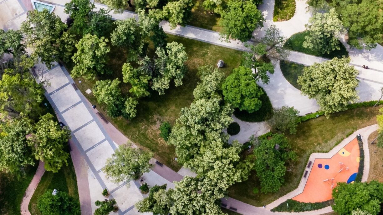
Estimating the microclimatic performance of urban vegetation is crucial to plan adaptation and mitigation actions for UHI effect. Tree Cover Density and Land Cover models have been interpolated, creating 20 classes of Blue and Green Infrastructures: for each category, a microclimatic performance score was attributed based on evapotranspiration potential, shading and albedo.
Product 2 – Microclimatic performance index of urban vegetation
The third product is the Park Cool Island assessment, which identifies the most performing areas according to their size and relevant characteristics. This layer was finally interpolated with the summer average of the Surface UHI for the period 2018-2022, identifying safe areas in terms of surface temperature, thus providing public health-related information for climate adaptation and emergency preparedness during extreme heatwaves.
Product 3 – Park Cool Islands assessment
Finally, another tool will be developed in the second phase of the project, which started in March. This tool suggests the most suitable NBS for each urban context interpolating different criteria, selecting from European Horizon projects and giving a score for the Urban Challenges addressed and Ecosystem Services provided.
These tools are potentially replicable in any European city: Remote Sensing trained with Artificial Intelligence methods and workflow automation allows the replicability of the project across different case studies. The choice of Milan and Naples allows for different levels of readiness, data availability, and urban-climatic conditions. The final goal of the UrbAlytics project is to provide local authorities and decision-makers with a product that demonstrates the benefits of integrating NBS in all neighbourhoods to promote more sustainable, biodiverse, resilient and healthy urban environments.
LAND Research Lab Team: Andrea Balestrini, Giulia Castellazzi, Davide Pallotta, Lorenzo Pirosa
Latitudo 40 Team: Gaetano Volpe, Mauro Manente, Giovanni Giacco, Mattia Rigiroli


