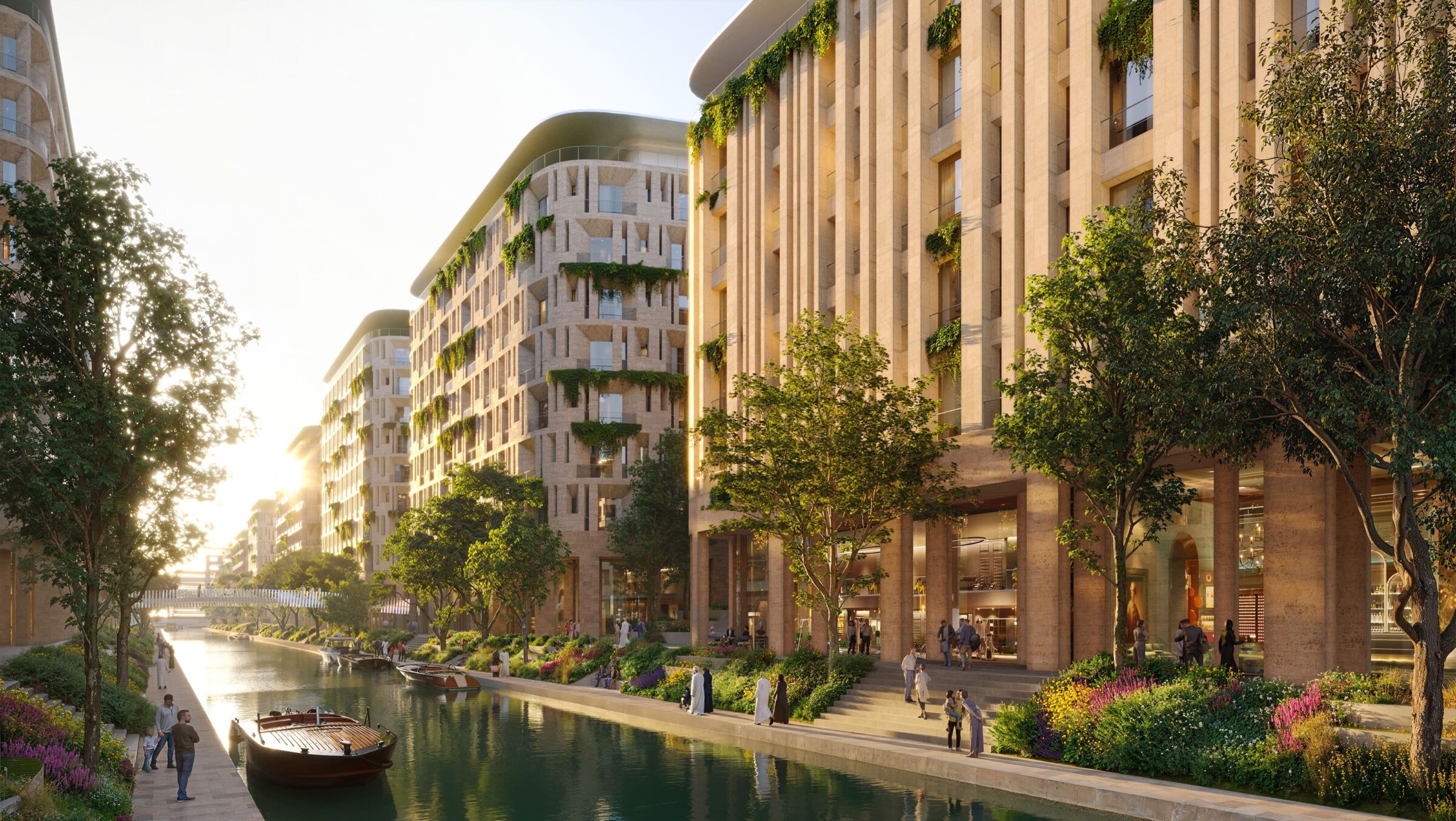
Al-Khuwair Downtown Masterplan, Muscat
Oman
The landscape vision for Muscat Downtown connects the coastline, wadis and new development through an integrated green and blue infrastructure. The strategy strengthens ecological connections, shapes the public realm and supports a climate-adaptive approach to coastal development.
Client
Ministry of Housing and Urban Planning
Geography
Status
Year
2023 - ongoing
Area Size
290 ha of whole development - 80 ha of Sea Protection
Lead Consultant
Zaha Hadid Architects
Partners
Partners LAND Italia, Muscat Landscaping, Buro Happold, Street Sense, CBRE, F&M, Alhambra Advisors, TRM and MEC
The landscape vision for Muscat Downtown connects the coastline, wadis and new development through an integrated green and blue infrastructure. The strategy strengthens ecological connections, shapes the public realm and supports a climate-adaptive approach to coastal development.
Client
Ministry of Housing and Urban Planning
Geography
Status
Year
2023 - ongoing
Area Size
290 ha of whole development - 80 ha of Sea Protection
Lead Consultant
Zaha Hadid Architects
Partners
Partners LAND Italia, Muscat Landscaping, Buro Happold, Street Sense, CBRE, F&M, Alhambra Advisors, TRM and MEC
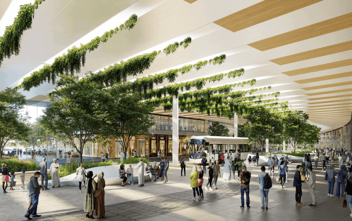
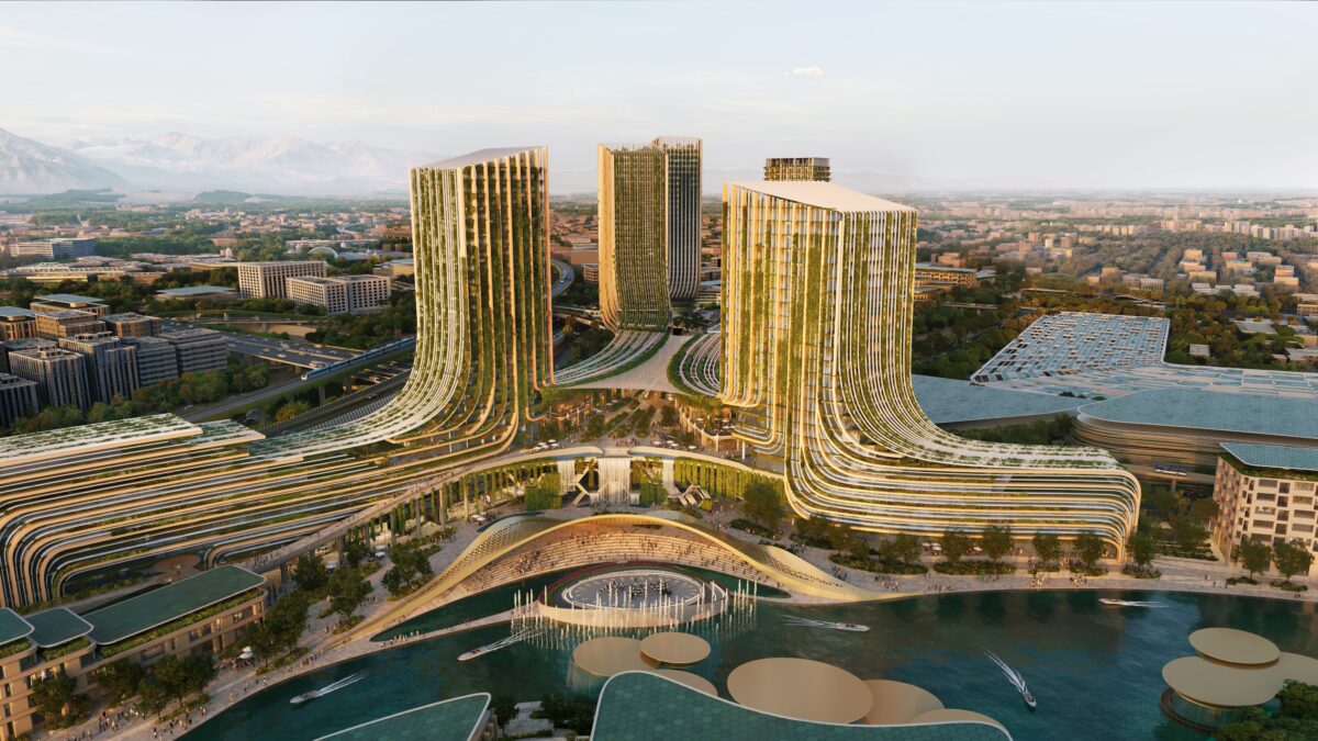
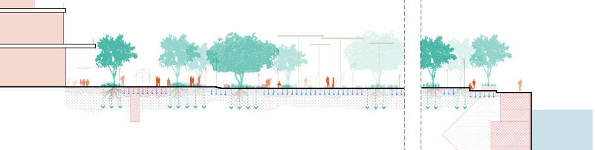
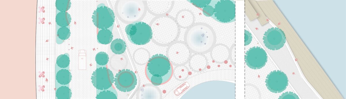
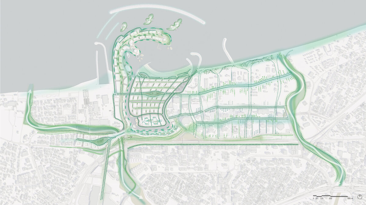
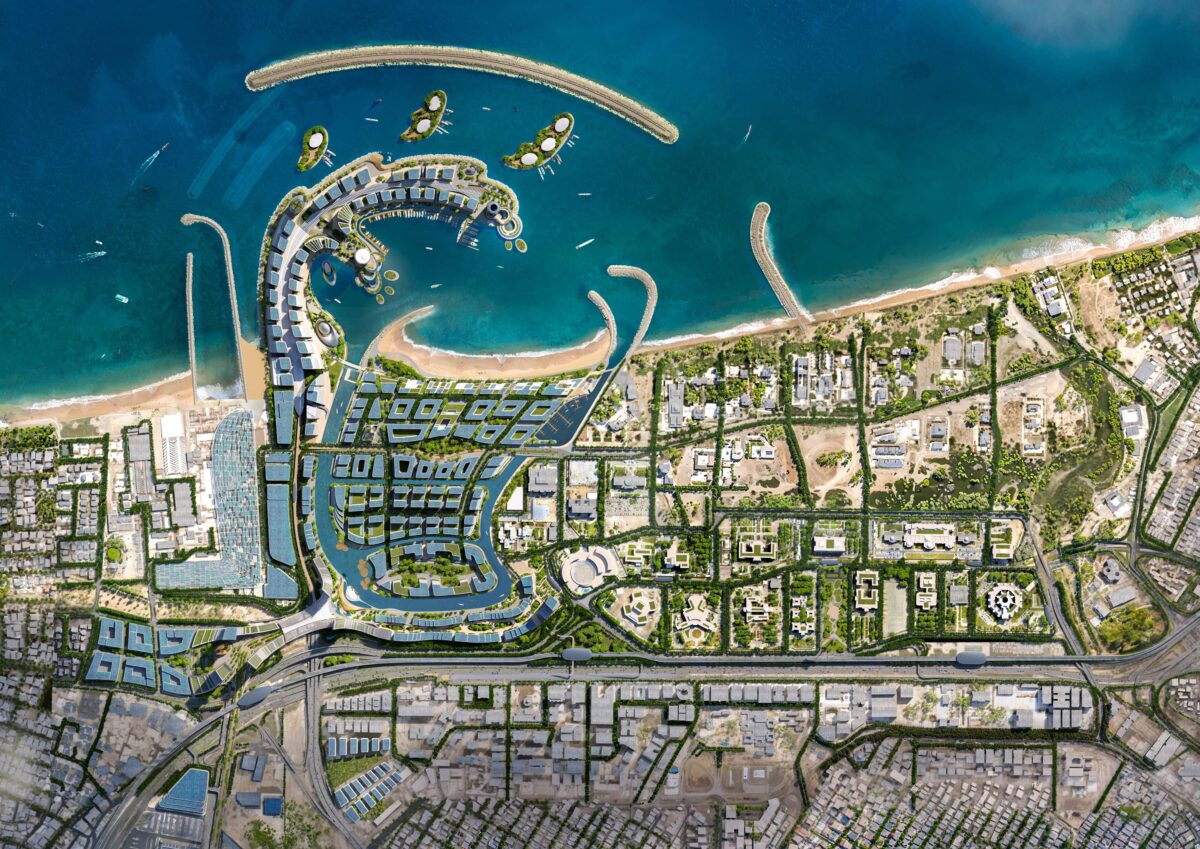
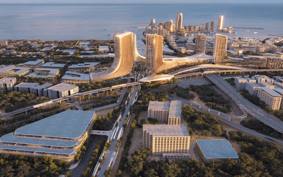
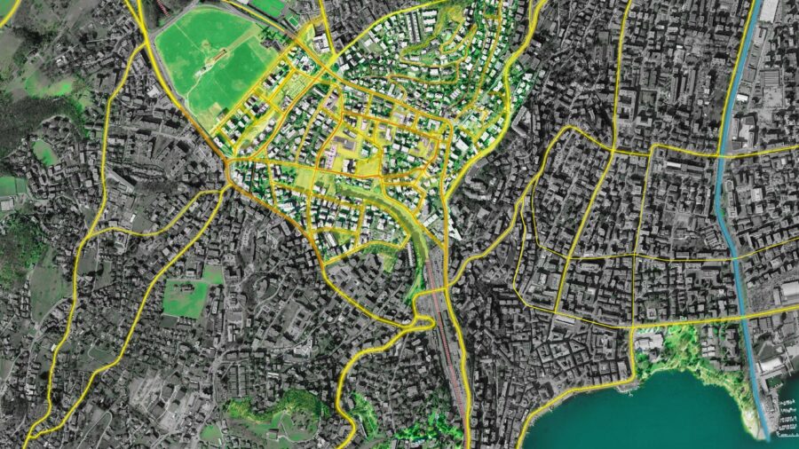
Muscat Downtown offers the opportunity to become a model for resilient and sustainable coastal development. The landscape vision seeks to balance the city’s intrinsic natural assets—its coastline and wadis—with a new era of integrated growth. Anchored in a green and blue infrastructure, the strategy connects the waterfront to the wider urban fabric through ecological corridors that extend from the wadis into the masterplan, shaping public spaces and enhancing the natural experience within the new public realm.
This network mitigates heat, improves microclimates and fosters biodiversity, while creating public spaces that adapt to cultural practices and balance movement, social life and contemplation. Water remains a central element of the masterplan, both as a resource and as an identity marker, connecting Muscat’s natural systems and cultural narratives within a unified landscape experience. The strategy therefore builds on the existing relationship between land and water, reinforcing ecological continuity across the site and establishing a framework for climate-adaptive development along the Omani coast.
Blue Infrastructure
23 ha of Natural Wadis
7.5 km of New Canal Waterfront
Green Network
5 km of Green Corridors
15 ha of Green Spine
Landscape Regeneration
60 ha of Public Spaces
35 ha of Wadi Re-naturalization Plan
Related projects