
Tools and Methods
From meeting sustainability goals to assessing climate-related vulnerability.
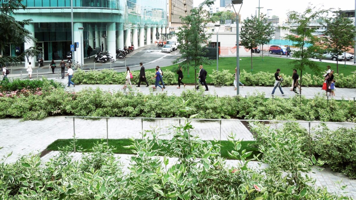
Landscape design reflects the specific culture of a society and is steered by its relevance and benefits for the people who live the places we conceive. In this era of climate emergency, health concerns, and social segregation, landscape design must be even more ethically justified. From this standpoint, LAND is engaged in achieving technical solutions using tools, methods, and models conceived by its LAND Research Lab®, which ensure an ethical impact as well. These efforts are then brought into project and planning approaches, accompanied by consultation with designers and clients.
Among those challenges, the increasing pressure of climate change led LAND to seek a way to measure the extent to which its own projects meet the Sustainable Development Goals (SDGs) of the UN Agenda 2030. LAND’s Sustainability Compass® shows how a landscape project approaches SDGs through its actions and in combination with New European Bauhaus’ principles (inclusivity, aesthetics, sustainability). The assessment pursued by the Compass estimates on a (so far) qualitative basis on the extent to which the SDGs’ subgoals are met. This tool can be used to identify, further hone or validate project objectives according to their development phase.
The Compass becomes an even more complete tool if supported by LIM landscape information modelling®, a proprietary method that LAND created to quantify landscape ecosystem services.

LIM is a databased process that assesses positive environmental impacts produced by vegetation. Specific predictions can be provided for all tree species, for example in terms of carbon sequestration, reduction of ozone concentration, or oxygen production. LIM’s innovativeness is based on its ability to envision future development scenarios for vegetation and communicate these data in graphic, comprehensible form. Nonetheless, ecosystem services can also be quantified on broader land surfaces, especially when vegetation data is not accurate or not available.
For this purpose, LAND added an additional measurement tool to the international standard of natural capital accounting (NCA). The EU defines natural capital accounting as “a tool to measure the changes in the stock and condition of natural capital (ecosystems) at a variety of scales and to integrate the flow and value of ecosystem services into accounting and reporting systems in a standard way.” (See “Natural Capital Accounting” box). Through its own NCA assessment, LAND endorses the implementation of climate adaptation strategies and naturebased solutions to enhance livability conditions in cities (for example, by developing green/blue infrastructure for climate mitigation like the Green Rays in Milan). To this end, during the past year UrbAlytics was developed to detect urban heating impacts within the AI4Copernicus project, a research initiative funded by the European Commission.
UrbAlytics aims to combine artificial intelligence with satellite observation of Earth to produce information that can support urban planners and decision-makers in terms of mitigation and adaptation to the urban heat island (UHI) effect. Thanks to the joint expertise of partners Latitudo 40 (Naples) and LAND Research Lab®, the ecosystem services provided by blue and green infrastructure were assessed and a set of nature-based solutions for climate adaptation and mitigation of extreme heat was proposed.

Naples case study from UrbAnalytics project: Heatwave Potential Risk index at urban scale
During the project, pilot applications were tested in the cities of Naples and Milan. The result was a heat risk assessment map that considers the severity of events, exposure of vulnerable age groups, and vulnerability due to urban morphology and surface materials in the UHI. The municipality involved – the city governments of Milan and Naples – have already expressed interest in using the maps and data generated within UrbAlytics for their climate adaptation plans.
Beyond analyzing data and exploring the new opportunities of artificial intelligence, landscape architects are called to examine perceptions, desires and barriers regarding public spaces and their social use. This mission resulted in the development of Anatomy of Public Space, a selffinanced research project promoted by an interdisciplinary collaboration between LAND Research Lab®, Park Plus, and Fondazione Transform Transport ETS.

Naples case study from UrbAnalytics project: Microclimatic Performance Index of urban vegetation
The project aims to study public space from the different perspectives of the working group’s three components (architecture, landscape, mobility) in order to present a multidimensional narrative of the role of public space in contemporary cities. The connection between the different components of public space and the human body is meant to define new perspectives from which to view public space through a multisectoral lens. The project was presented at several public festivals and was directly discussed with citizens at open workshops.
In the ecological transition, landscape architects play a crucial role in translating people’s expectations, environmental requirements, and public interests into a novel design approach that is more just and nature positive. Digital tools and methods support the process with data and interoperable resources; nevertheless, they must be integrated with the relationships and needs of people and ecosystems, which ultimately shape our landscapes.
Text: Andrea Balestrini, LAND
Natural Capital Accounting
Based on the UN’s SEEA Ecosystem Accounting framework, LAND’s approach to natural capital accounting (NCA) is aimed at analyzing specific areas, using different scales and both public and private property, to quantify natural capital in terms of extension, state of health, and benefits provided by ecosystems. In particular, ecosystem services are services that natural systems generate for the environment and thus for human beings.
Assessing natural capital from an ecosystemic perspective makes it possible to analyze landscapes and organize data on habitats within a particular spatial area by tracking changes in resources and connecting environmental information to human activity.
This important process becomes quite significant in meeting one of the challenges that LAND faces every day: making sustainability and the impacts of its landscape projects visible and measurable. LAND’s NCA makes it possible to quantify the project’s performance based on environmental parameters related to greenery management, water management, climate change mitigation, and air quality, which are provided by the LIM database. In so doing, evaluations based on different timeframes, both present and forecasted, support the decision-making process and link planning decisions to the medium and longterm goals set out in the UN Agenda 2030, European Green Deal, and other policies such as the EU Biodiversity Strategy and the recently approved Nature Restoration Law.
In promoting the management and improvement of natural capital, LAND’s NCA supports clients in achieving their ESGbased goals, accessing to funding opportunities (e.g. the PNRR, Italy’s National Recovery and Resilience Plan), and meeting compliance with environmental sustainability certifications.
Text: Matteo Pedaso, LAND
Read other Articles from this Edition

Everything is Landscape AgriPark Fellbach (IBA’27)
Everything is Landscape AgriPark Fellbach (IBA’27)