Neue Wege zum Wasser, Essen
Germany
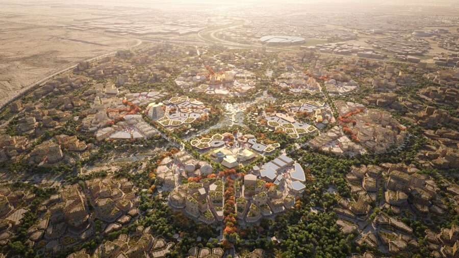
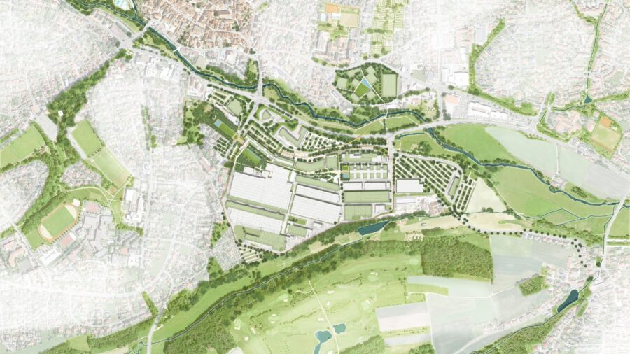
The action programme “ESSEN. New Paths to Water” aims to develop and connect green spaces between the Emscher Valley in the north and the Ruhr Valley in the south of Essen. A large number of individual measures in the city area have already been implemented on the basis of this master plan.
The action programme “ESSEN. New Paths to Water” aims to develop and connect green spaces between the Emscher Valley in the north and the Ruhr Valley in the south of Essen. A large number of individual measures in the city area have already been implemented on the basis of this master plan.
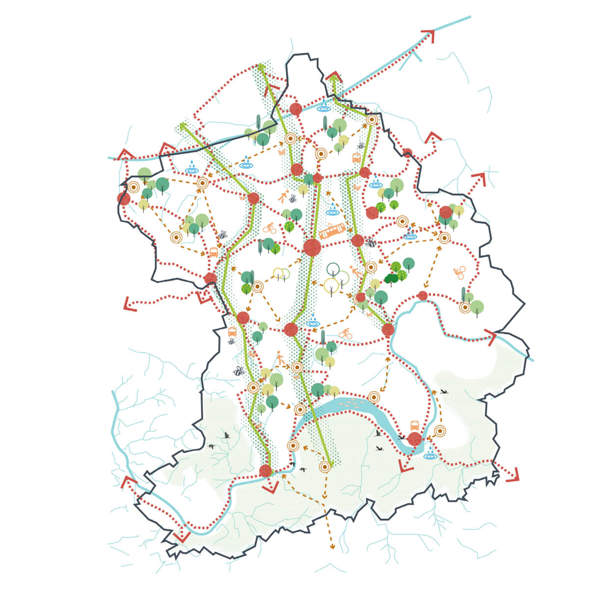
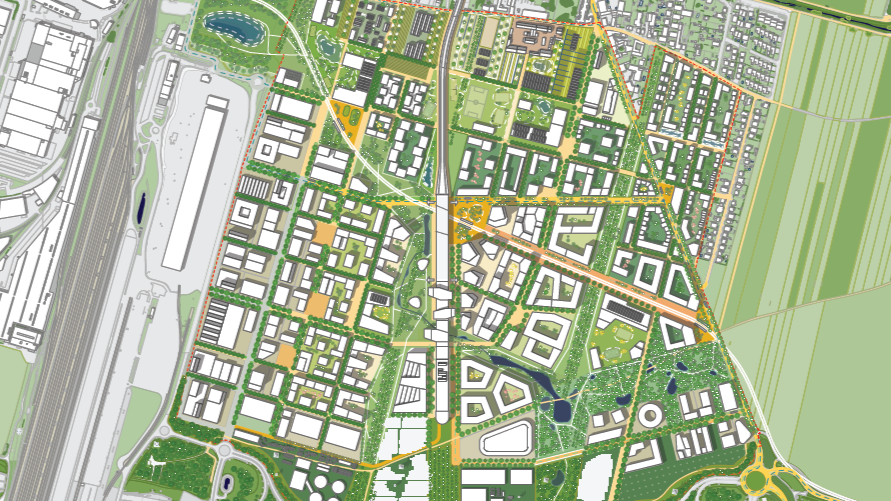
Neue Wege zum Wasser – Masterplan. Linking green and water spaces across Essen.
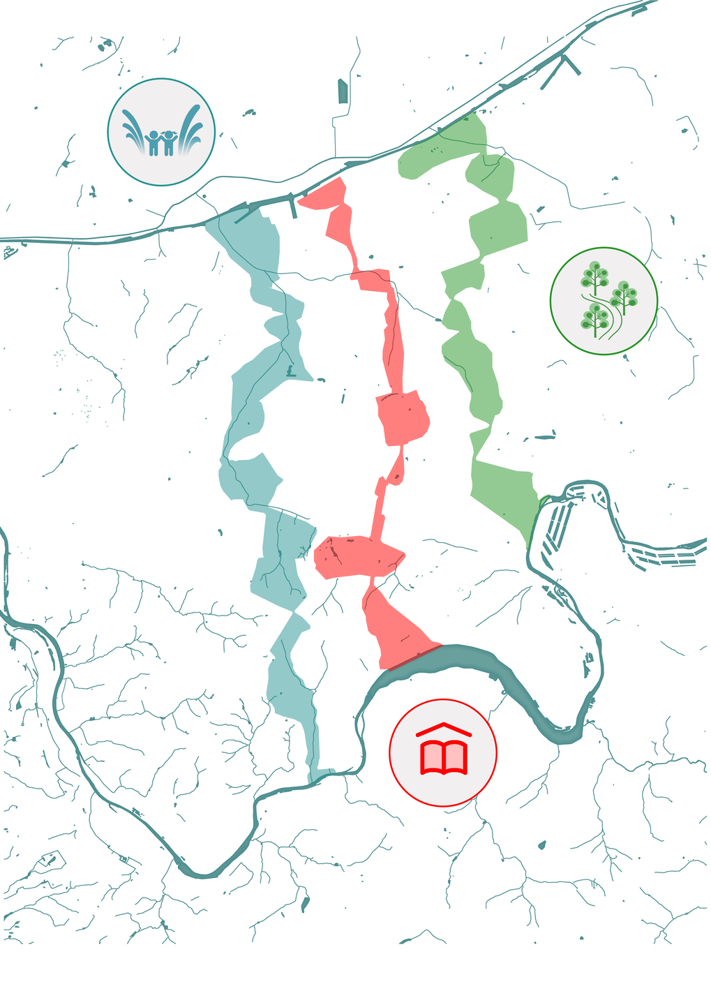
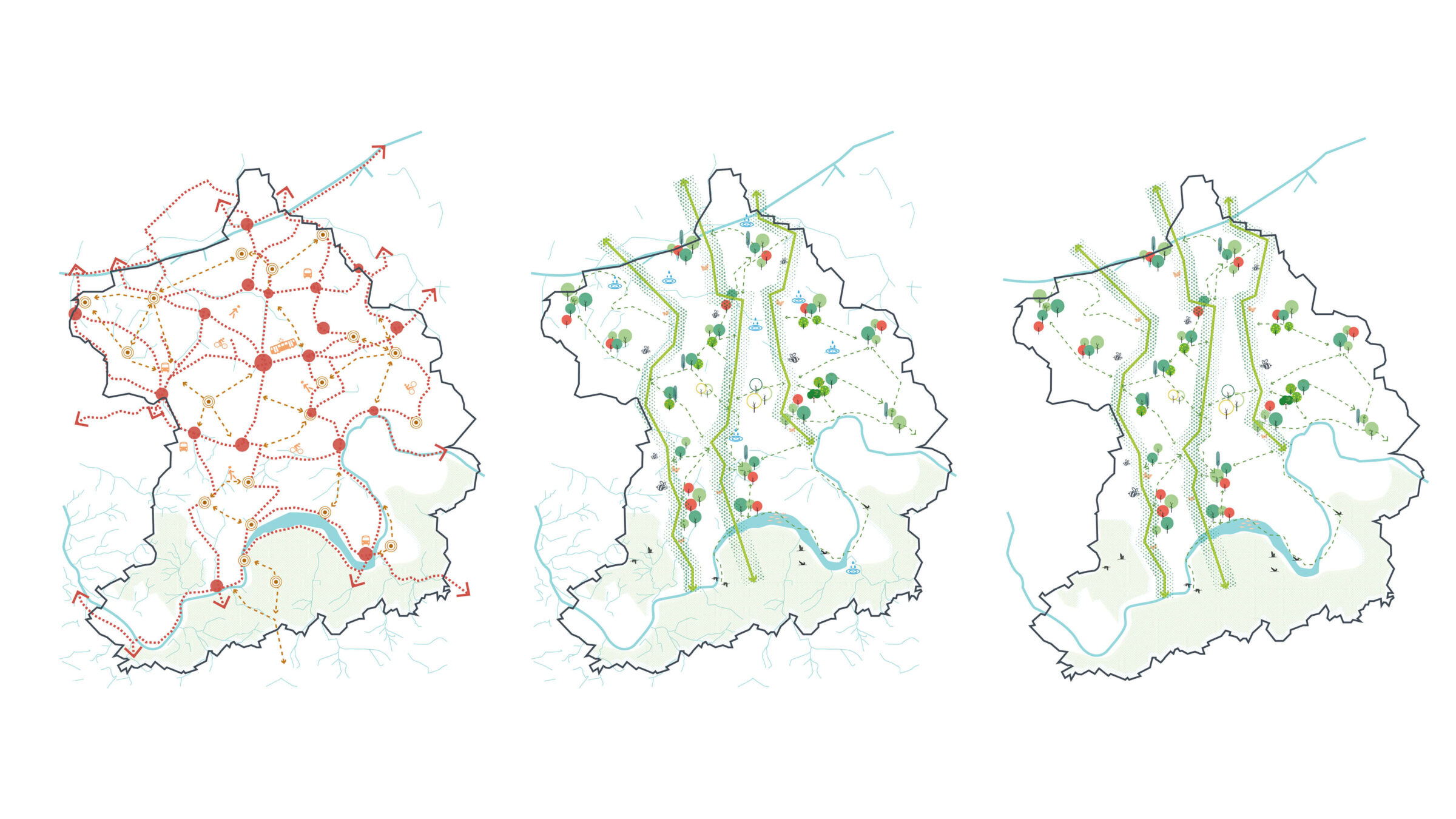
Thematic corridors connecting Essen's hotspots with the green and blue Nature-frame
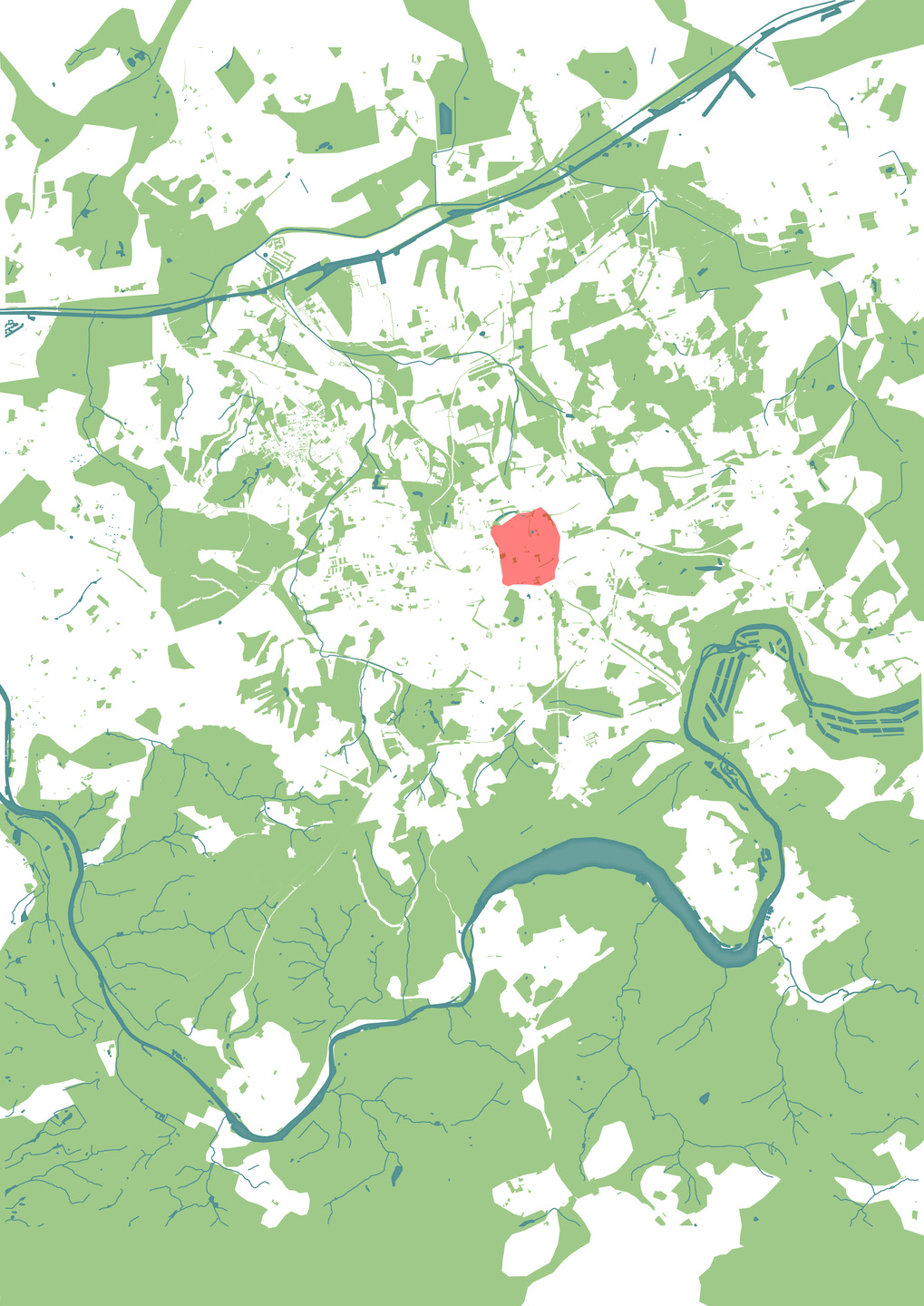
A strategic vision reconnecting Essen’s urban fabric with its natural green and blue infrastructure.
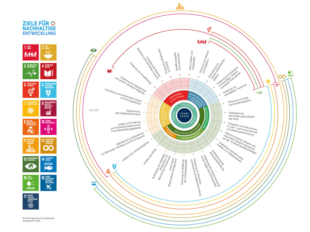
Sustainability Compass. Guiding Essen’s urban development with sustainability goals.
The master plan represents a five-phase model for the valorisation of Essen’s landscape. Phases 1 to 4 were gradually worked on between 2006 and 2021. With documentation on the 15th anniversary of the action programme (2021), LAND developed a measure and effect controlling (phase 5) as a retrospective impact assessment and as quality assurance of the idea process. It provides an overview of the individual projects implemented between 2006 and 2021 of the action programme “ESSEN. New Ways to Water”. This review serves as a basis for the conception of the future direction of the action programme for the years 2022 to 2027, pursuing a holistic approach crucial for sustainable urban development.
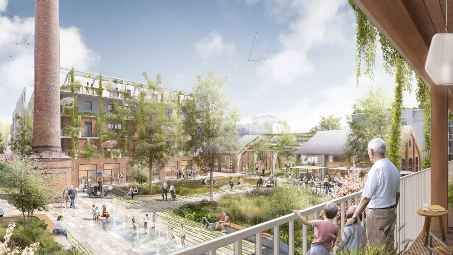
Many hundreds of small and large individual projects complement and interconnect the green and blue infrastructures of the Emschergenossenschaft, along with the urban cycle and footpath system, thus changing the face of the city towards a green, liveable metropolis. The master plan vision thus gives the entire urban fabric new impulses, uses existing potential and draws on nature as a driver of development.
A so-called strategy compass is suitable for monitoring both the past and as a guide for future developments, guaranteeing a uniform monitoring system that can be used to record and work on goals, strengths, weaknesses, opportunities and risks, ensuring the continuous development of the programme of action.
18 ha of renewed parks and green infrastructure
including 700 solitary trees planted by non-profit organizations and over 6,000 m² of wildflower meadows
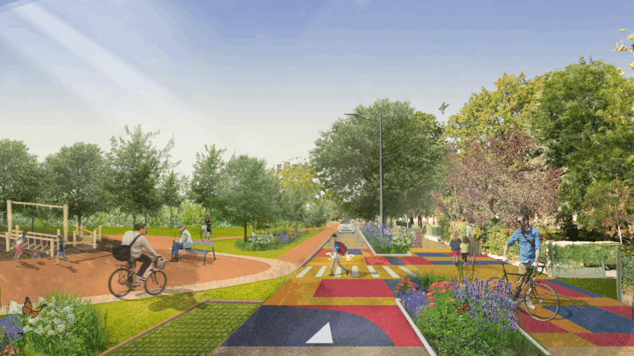
35 km of new paths for soft mobility
such as footpaths and cycle paths, in addition to 40 km of upgraded existing path systems
Over 500 individual projects
anchored within the cityscape, based on the Masterplan „Freiraum schafft Stadtraum“
Related projects
Strategic Campus Development Framework, Schaeffler Areal Herzogenaurach
Strategic Campus Development Framework, Schaeffler Areal Herzogenaurach